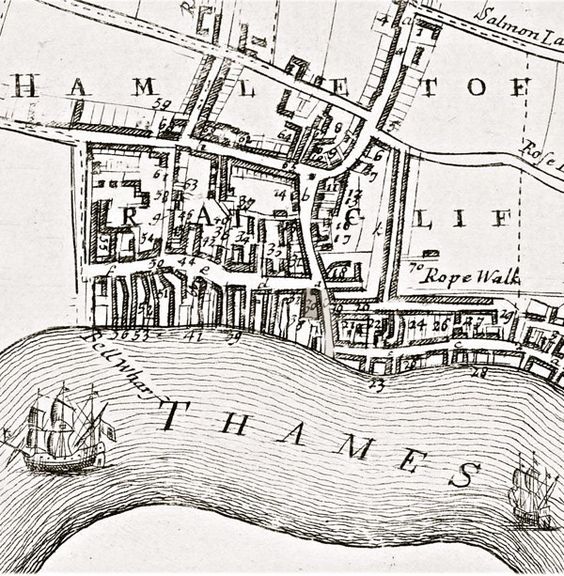
Map of ‘The Hamlet of Ratclif’, from John Strype, ‘A Map of the Parish of St Dunstans Stepney and Stebunheath Divided into Hamlets’, A survey of the Cities of London and Westminster (London, 1720). Via Wikimedia Commons, view Strype’s maps here.

Map of ‘The Hamlet of Ratclif’, from John Strype, ‘A Map of the Parish of St Dunstans Stepney and Stebunheath Divided into Hamlets’, A survey of the Cities of London and Westminster (London, 1720). Via Wikimedia Commons, view Strype’s maps here.
